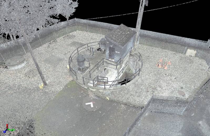
3D Laser Scanning
Terrestrial LiDAR / 3D laser scanning is a highly precise remote sensing technology used to capture detailed three-dimensional representations of environments, structures, and landscapes. By emitting laser pulses and measuring their return time, terrestrial LiDAR scanners generate dense point cloud data, which can be processed to create accurate digital models. This technology is widely used in applications such as topographic mapping, infrastructure assessment, forestry analysis, and cultural heritage documentation. Advanced algorithms convert raw point clouds into 3D models, enabling further analysis and visualization. The high resolution and accuracy of terrestrial LiDAR make it an essential tool for industries requiring precise spatial data.
Scanning Services:
- Roadway Corridors
- ADA Ramp Inspections
- Small & Large Civil Design Projects
- Industrial Complexes / Infrastructure
- Bridges
- Building Interior / Exterior
- Streams & Creeks
- Underground Utility Structures
- Overhead Utility Systems